geology

Showing posts with label NMR. Show all posts

Tuesday, 9 August 2011

Reservoirs of Ancient Lava Shaped Earth


Reservoirs of Ancient Lava Shaped Earth


Geological history has periodically featured giant lava eruptions that coat large swaths of land or ocean floor with basaltic lava, which hardens into rock formations called flood basalt. New research from Matthew Jackson and Richard Carlson proposes that the remnants of six of the largest volcanic events of the past 250 million years contain traces of the ancient Earth's primitive mantle -- which existed before the largely differentiated mantle of today -- offering clues to the geochemical history of the planet.
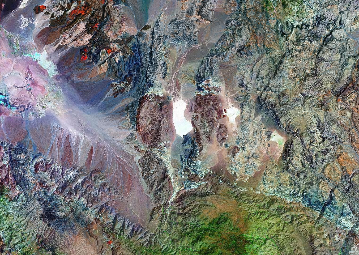
Scientists recently discovered that an area in northern Canada and Greenland composed of flood basalt contains traces of ancient Earth's primitive mantle. Carlson and Jackson's research expanded these findings, in order to determine if other large volcanic rock deposits also derive from primitive sources.
Information about the primitive mantle reservoir -- which came into existence after Earth's core formed but before Earth's outer rocky shell differentiated into crust and depleted mantle -- would teach scientists about the geochemistry of early Earth and how our planet arrived at its present state.
Until recently, scientists believed that Earth's primitive mantle, such as the remnants found in northern Canada and Greenland, originated from a type of meteorite called carbonaceous chondrites. But comparisons of isotopes of the element neodymium between samples from Earth and samples from chondrites didn't produce the expected results, which suggested that modern mantle reservoirs may have evolved from something different.
Carlson, of Carnegie's Department of Terrestrial Magnetism, and Jackson, a former Carnegie fellow now at Boston University, examined the isotopic characteristics of flood basalts to determine whether they were created by a primitive mantle source, even if it wasn't a chondritic one.
They used geochemical techniques based on isotopes of neodymium and lead to compare basalts from the previously discovered 62-million-year-old primitive mantle source in northern Canada's Baffin Island and West Greenland to basalts from the South Pacific's Ontong-Java Plateau, which formed in the largest volcanic event in geologic history. They discovered minor differences in the isotopic compositions of the two basaltic provinces, but not beyond what could be expected in a primitive reservoir.
They compared these findings to basalts from four other large accumulations of lava-formed rocks in Botswana, Russia, India, and the Indian Ocean, and determined that lavas that have interacted with continental crust the least (and are thus less contaminated) have neodymium and lead isotopic compositions similar to an early-formed primitive mantle composition.
The presence of these early-earth signatures in the six flood basalts suggests that a significant fraction of the world's largest volcanic events originate from a modern mantle source that is similar to the primitive reservoir discovered in Baffin Island and West Greenland. This primitive mantle is hotter, due to a higher concentration of radioactive elements, and more easily melted than other mantle reservoirs. As a result, it could be more likely to generate the eruptions that form flood basalts.

Saturday, 4 June 2011

The Sliding Rocks

The Sliding Rocks of Racetrack Playa


One of the most interesting mysteries of Death Valley National Park is the sliding rocks at Racetrack Playa (a playa is a dry lake bed). These rocks can be found on the floor of the playa with long trails behind them. Somehow these rocks slide across the playa, cutting a furrow in the sediment as they move.

Some of these rocks weigh several hundred pounds. That makes the question: "How do they move?" a very challenging one.

The truth: No one knows for sure exactly how these rocks move - although a few people have come up with some pretty good explanations. The reason why their movement remains a mystery: No one has ever seen them in motion!

Let's learn how they are thought to move....


About Racetrack Playa


Racetrack playa is lake bed that is almost perfectly flat and almost always dry. It is about 4 kilometers long (2.5 miles - north to south) and about 2 kilometers wide (1.25 miles - east to west). The surface is covered with mudcracks and the sediment is made up mainly of silt and clay.

The climate in this area is arid. It rains just a couple of inches per year. However, when it rains, the steep mountains which surround Racetrack Playa produce a large amount of runoff that converts the playa floor into a broad shallow lake. When wet, the surface of the playa is transformed into a very soft and very slippery mud.


Are They Moved by People or Animals?


The shape of trails behind the rocks suggest that they move during times when the floor of Racetrack Playa is covered with a very soft mud. A lack of disturbed mud around the rock trails eliminates the possibility of a human or animal pushing or assisting the motion of the rocks.


Are They Moved by Wind?


NASA Racetrack Playa research
Recent research by NASA on Racetrack Playa
This is the favorite explanation. The prevailing winds that blow across Racetrack Playa travel from southwest to northeast. Most of the rock trails are parallel to this direction. This is strong evidence that wind is the prime mover or at least involved with the motion of the rocks.

Strong wind gusts are thought to nudge the rocks into motion. Once the rock begins to move a wind of much lower velocity can keep the rock in motion as it slides across the soft and very slippery mud. Curves in the rock trails are explained by shifts in wind direction or in how the wind interacts with an irregularly shaped rock.


Are They Moved by Ice?


A few people have reported seeing Racetrack Playa covered by a thin layer of ice. One idea is that water freezes around the rocks and then wind, blowing across the top of the ice, drags the ice sheet with its embedded rocks across the surface of the playa.

Some researchers have found highly congruent trails on multiple rocks that strongly support this movement theory. However, the transport of a large ice sheet might be expected to mark the playa surface in other ways - these marks have not been found.

Other researchers experimented with stakes that would be disturbed by ice sheets. The rocks moved without disturbing the stakes. The evidence for ice-sheet transport is not consistent.


Wind is the Favored Mover!


All of the best explanations involve wind as the energy source behind the movement of the rocks. The question remains is do they slide while encased in an ice sheet or do they simply side over the surface of the mud? Perhaps each of these methods is responsible for some rock movement?

Perhaps this story will remain more interesting if the real answer is never discovered!


NASA Studies on Sliding Rocks


NASA sent a team of interns and mentors to Racetrack Playa during Summer 2010. They made observations, performed tests, compiled data and developed some ideas about how the rocks might move. Check out their report and photos.


Photos of Sliding Rocks Below!


Movement of a large rock across a barren surface is almost impossible to believe. However, good photographs can serve as evidence for those who can not travel to Death Valley National Park. Thanks to Steve Geer, Stephan Hoerold, Skye Bajoul, sartriano, John Alcorn and Mike Nortan for the great images used here.


Lots of sliding rocks and trails on Racetrack Playa © iStockphoto / Stephan Hoerold


Rocks of many shapes leave trails across Racetrack Playa. © iStockphoto / sartriano


Rocks of many shapes leave trails across Racetrack Playa. © iStockphoto / John Alcorn


Diamonds Don't Form From Coal
Largest Oil Spills Map
San Andreas Fault
Igneous, Metamorphic, and Sedimentary Rocks
The Only Diamond Mine in the USA
Marcellus Shale
What is Geology?
  source:  www.geology.com


A sliding rock that has left a long track across the surface of Racetrack Playa. Some tracks are hundreds of feet long! (See below for several more sliding rock photos.) © iStockphoto / Steve Geer.


One of the favored ideas for how the rocks move assumes that they occasionally are embedded in a thin sheet of ice.


Landsat image of Racetrack Playa. It is the flat white area in the center of the image.(click for more detail)


Rocks of many sizes and shapes leave tracks across Racetrack Playa. © iStockphoto / David Choo.


Closer view of the sliding rock in the top image on this page. © iStockphoto / Skye Bajoul


Monday, 23 May 2011

Rockies May Have Been Formed

Rockies May Have Been Formed by Giant Sucking


Mon Mar 7, 2011 10:50 AM ET

They may be one of the continent's largest features, but the formation of the Rockies has remained a puzzle.

A new hypothesis suggests a thick tectonic plate may have created a suction and counter force that thrust up the mountains.

The proposal could also explain how gold and silver ended up in the Colorado Rockies.

The Rocky Mountains may have been formed when a giant suction created a counter force that thrust the mountains upward. Click to enlarge this image.

George Rose/Getty Images


RELATED CONTENT

Climate-related disasters are springing up on Mt. Rainier.

Warming Stimulates Mountain Growth Spurt

Mountains May Be Climate Change Refuges

The craggy Rocky Mountains may have been formed when a giant suction created a counter force that thrust the mountains upward, according to a new theory.

The Rocky Mountains, rising from the center of the North American continent, have long presented a puzzle to geologists.


Mountains generally form where continental plates crash into each other: the Himalayas rise where India smashes into Asia, for example. But the nearest plate boundary to the Rockies runs along the west coast of North America, forming the coastal mountain ranges.

"The Rocky Mountains have always been a problem because they look like a collisional mountain range. They look like the Himalayas but we can't find the India," said Basil Tikoff of the University of Wisconsin, Madison.

"It's just a weird situation in the Rocky Mountains that despite the fact that they have extraordinarily good geology and geophysics that we don't get the basic geology of how they formed."

Since the 1980s, the dominant theory has been that the Farrallon plate to the west skidded underneath the North American plate above it at a shallow angle, creating ripples far out in front, like trying to pry a sticky pancake off a griddle. The further you stick the spatula underneath, the more it sticks to the spatula and rumples the pancake ahead of the spatula edge.


PLANET GREEN: Himalayas in Danger Due to Tourism


Yet a number of geologists note that several types of evidence are inconsistent with this idea. Types of rocks found in California indicate that this shallow scraping isn't possible because it should have sheared away the bottom layer of the plates, and ancient rocks representative of the bottom have been found where they shouldn't be.

"There's a fundamental assumption of what's going on that does not stand up to further scrutiny," said Tikoff.

Now researchers provide evidence in support of a new idea that they say may explain not only the Rockies' rising but also the gold, silver and other mineral deposits that thread through the mountains in Colorado.
 The new hypothesis revolves around the idea that underneath Wyoming is an area where the North American plate is extra thick, protruding like a hull into the more fluid part of the upper mantle below. As the Farrallon plate slid underneath, the fluid layer beneath flowed around the hull shape and into the cavity where the plates meet and as it tried to flow out again, it created a downward suction force.
Seemingly paradoxically, the suction, combined with the plate pressing in from the side, created the forces that pushed up the Rockies, said study lead author Craig Jones of the University of Colorado at Boulder. The new work appears in Geosphere.
 Evidence supports the new idea, he noted, including the presence of a two-mile-thick layer of marine shale in Wyoming where the downward suction would have created an undersea basin starting around 75 million years ago.


Another aspect of the proposal is that it could potentially explain the surprising bands of gold, silver other minerals that streak at a near right angle across the Rockies in Colorado. The unusual fluid flow created by the keel formation could have drawn magma up from below, creating the metal deposits that drove prospectors to the Colorado Rockies in the late 1800s.

"I suspect for people who are thinking hard about this problem, this is likely to become a leading candidate if not the leading candidate" said Tikoff of the proposed mechanism. "It makes predictions you can test."

Testing the predictions made by the hypothesis will be the next step, Jones agreed.


اخر اكتشاف جيلوجي في هذا الشهرLast discovery in geology in this month


The discovery of underground lake in Western Sahara and the views of the geology of talking about the water this eye stems from the underground river in the soles of the desert

اكتشاف بحيرة جوفية في الصحراء الغربية وآراء جيولوجية تتحدث عن أن المياه هذه العين نابعة من نهر جوفي في باطن الصحراء

على بُعد 350 كيلومتراً من محافظة مطروح، وتحديدًا بعد أكثر من 5 ساعات سيراً فى عمق الصحراء الغربية يكمن ما يمكن وصفه بـ«الكنز المائى»، حيث توجد بحيرة طبيعية ممتدة الأطراف، مصدرها عين جوفية تضخ مياهاً علمنا بعد تحليلها أنها أكثر عذوبة من نهر النيل.وبرصد استقصائى توصلنا إلى أن الأمر يُمكن أن يكون أكبر كثيراً من مجرد عين تفجرت منذ عشرات السنين دون أن تجد من يستغلها فحسب، خاصة بعد ما شاهدناه على الطبيعة وسمعناه من شهادات وآراء جيولوجية وتاريخية جميعها يتحدث عن أن مياه هذه العين نابعة من نهر جوفى فى باطن الصحراء الغربية، مدعمين هذا التفسير بوجود آبار أخرى موازية لهذه العين على مسافات متباعدة، تخرج منها مياه بنفس مواصفات وخواص مياه هذه العين.هذا التفسير كان المنطلق لرحلة خاضتها «المصرى اليوم» فى عمق الصحراء الغربية لرصد هذه العين وغيرها من الآبار الموازية، بغرض التأكد من حقيقة وجود ثروة مائية مخزونة فى باطن الصحراء، وغير ملتفت إليها، رغم ما تعانيه مصر فى الوقت الراهن من تهديدات بفقر مائى مستقبلى، فكانت هذه الرحلة


At a distance of 350 km from Matrouh Governorate, specifically after the more than 5 hours walk deep into the Western Sahara is what might be described as «the treasure water», where there are natural lake extended the parties, the source was appointed underground pumping water we learned after analyzing it more sweetness from the River Nile . and monitor the survey concluded that it could be much more than just eye erupted decades ago without finding the exploit only, especially after what we saw on the ground and heard the testimony and the views of the geological and historical, all talking about the water of the eye stems from the underground river in the the soles of Western Sahara, were supported by this interpretation, the existence of other wells parallel to this eye-distance apart, out of which water with the same specifications and properties of the water of the eye. This interpretation was the premise for the trip fought «Egyptian today» in the depth of Western Sahara to monitor the eye and other wells parallel, with a view sure of the fact that there is a wealth of water stored in the soles of the desert, and Mmeltvt it, despite what ails Egypt at the moment the threat of future water anemia, this was the trip

Monday, 16 May 2011

NMR ENGINEERING

                                   
Nuclear Magnetic Resonance(NMR) Logging


NMR uses core, sidewall core, and cutting to analyze hydrogen atomic nucleus (1H) capacity in the rock fluid (oil, gas and water) in order to obtain the petrophysical parameters such as reservoir Porosity (Φ), Permeability (K), Oil Saturation (So), Free Fluid Saturation (Sm), Free Water Saturation (Swm) and Irreducible Water Saturation (Swi). CNLC provides prescribed Nuclear Magnetic Resonance (NMR) equipment and services to companies.

NMR measurement has the features of being simple and rapid, having many parameters from one sample (the analysis of one rock sample can obtain several petrophysical parameters), and having many parameters from one machine (many petrophysical parameters can be obtained from one machine). Because of those features, it has an excellent application prospect to geologic logging.
 My name is Eltayeb Shaa Eldin  i was work with CNLC 6 years experience as International Staffed as NMR Engineer, (Nuclear Magnetic Resonance) Analysis of Geochemical sample by NMR-ML Technology
The parameters such as:
Vacuum-Saturating Equipment, Magnetic Probe Case, Electronic Circuit Case analysis for Reservoir formation sample (rock core, rock cuttings and SWC) measuring by NMR-ML Technology for reservoir such as:
Porosity, Permeability, Oil saturation, Movable and bound formation fluid saturation (Water & oil), Viscosity of the oil and wetability of the pore space surface.


Formation Porosity Determined by NMR


Formation Permeability Determined by NMR


Oil Saturation Derived from NMR Measurement
Water Saturation Derived from NMR Measurement